
Autodesk 2007-2024 and ZWCAD 2021 or later
G-Irudia 3.11.0 EXE (1.00 MB) FAQ
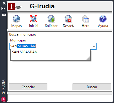
The Provincial Council service to find any geographic term of Gipuzkoa


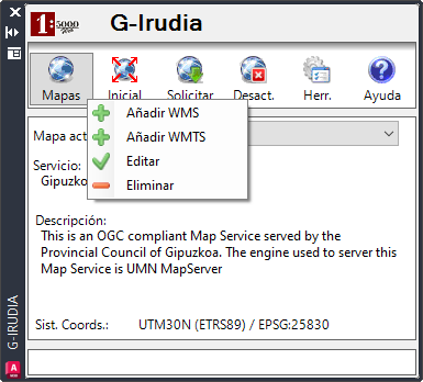
This application allows you to have b5m website's cartography and orthophotos published in Autodesk or in ZWCAD in an easy way.
G-Irudia is not compatible with Autocad LT
G-Irudia 3.11.0 EXE (1.00 MB) FAQ
G-Irudia 3.11.0 Autodesk 2025 EXE (1.12 MB) FAQ
G-Irudia 2.2 ZIP (474.80 kB) FAQ
You may also like
Datasets | Inspire services