Web 1:5000 - Gipuzkoa Provincial Council
All the geographic information you need about Gipuzkoa
The Spatial Data Infrastructure of Gipuzkoa puts data and tools at your fingertips to discover our geography.
Do you have a project that needs our geographic information?
You can use our open data through API, as well as the services and datasets we offer.
Whatever you are looking for, you will find it on our website
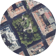
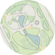
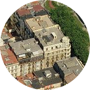
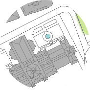
In addition to seeing the result in our viewer, you can download maps, aerial photos or in the case of municipalities, access information about boundaries and municipal cartography.
Example: Tolosa
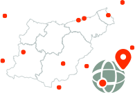
Geodetic reference information for Gipuzkoa
We show you everything relevant about our geodetic infrastructure and you can follow the status and information of our stations in Elgeta, Pasaia, Lazkao and Igeldo.
Geodetic Network


